Earth Explorer DEM Download
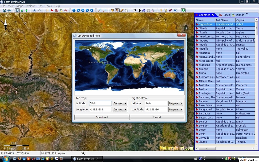
Earth Explorer DEM integrates high resolution shaded relief topographic imagery and seveal kinds of map information together to provide a total 3D view of our beautiful planet earth. Besides the vector map layers such as political boundaries, costlines, islands, lakes and lat/lon grids, Earth Explorer DEM also provides four types of point maps including 267 countries and regions, 40000+ ranked cities, 15000+ islands and 1700+ noteworthy. Version 3.5 improved location list display and the ability to add user's location list.


